
Meet Argus
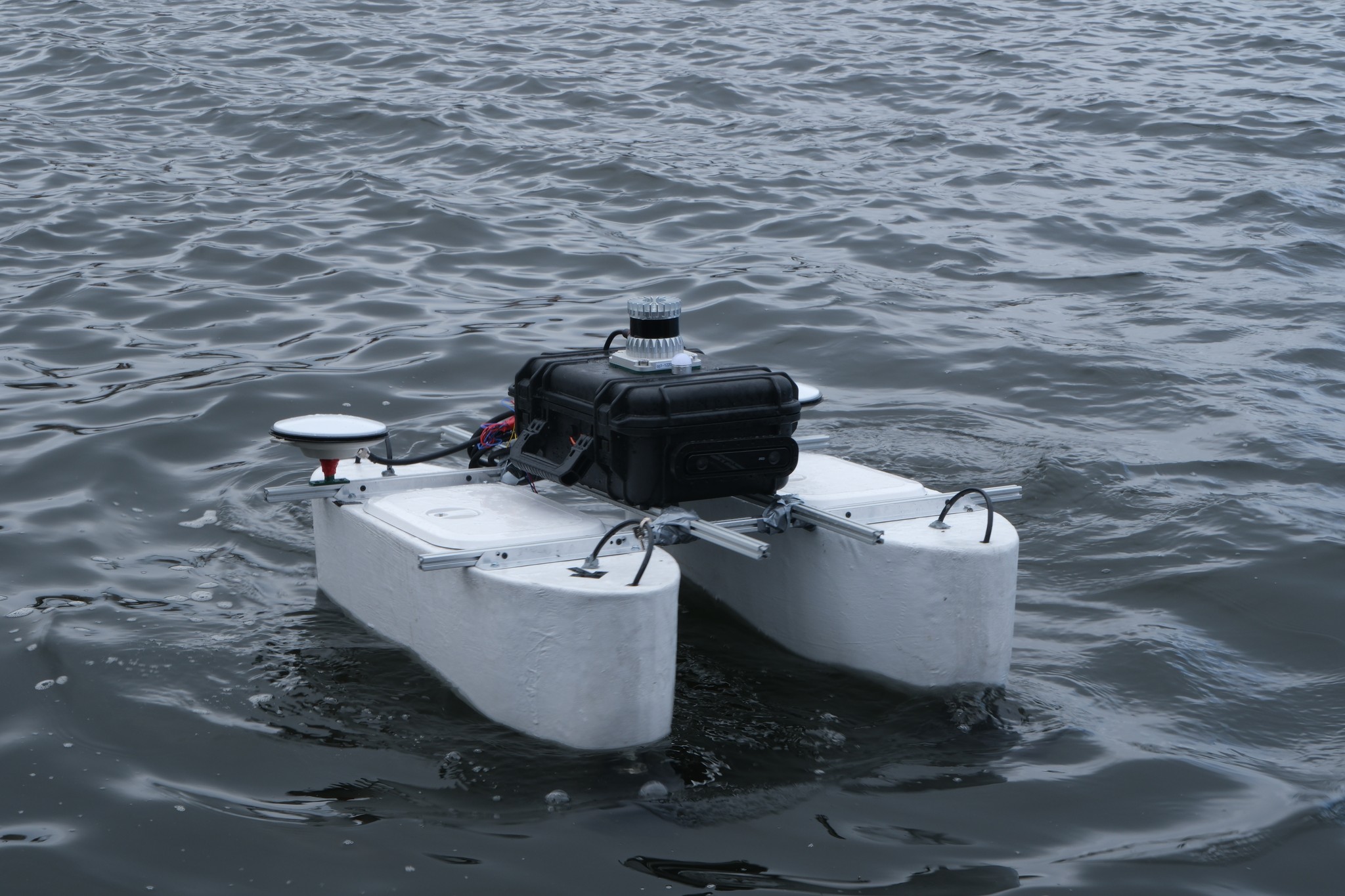
Our first autonomous boat. A catamaran built by students in Trondheim and tested in the harbour.
About Argus
Argus is our first autonomous surface vessel. It finds its way on the water with no one at the wheel.
The hulls, electronics, sensors, control system and software all have to work together on one boat. Our members made every part of it.
What is on board
The sensors and hardware Argus uses to see, find its position and steer.
- 01
Two hulls
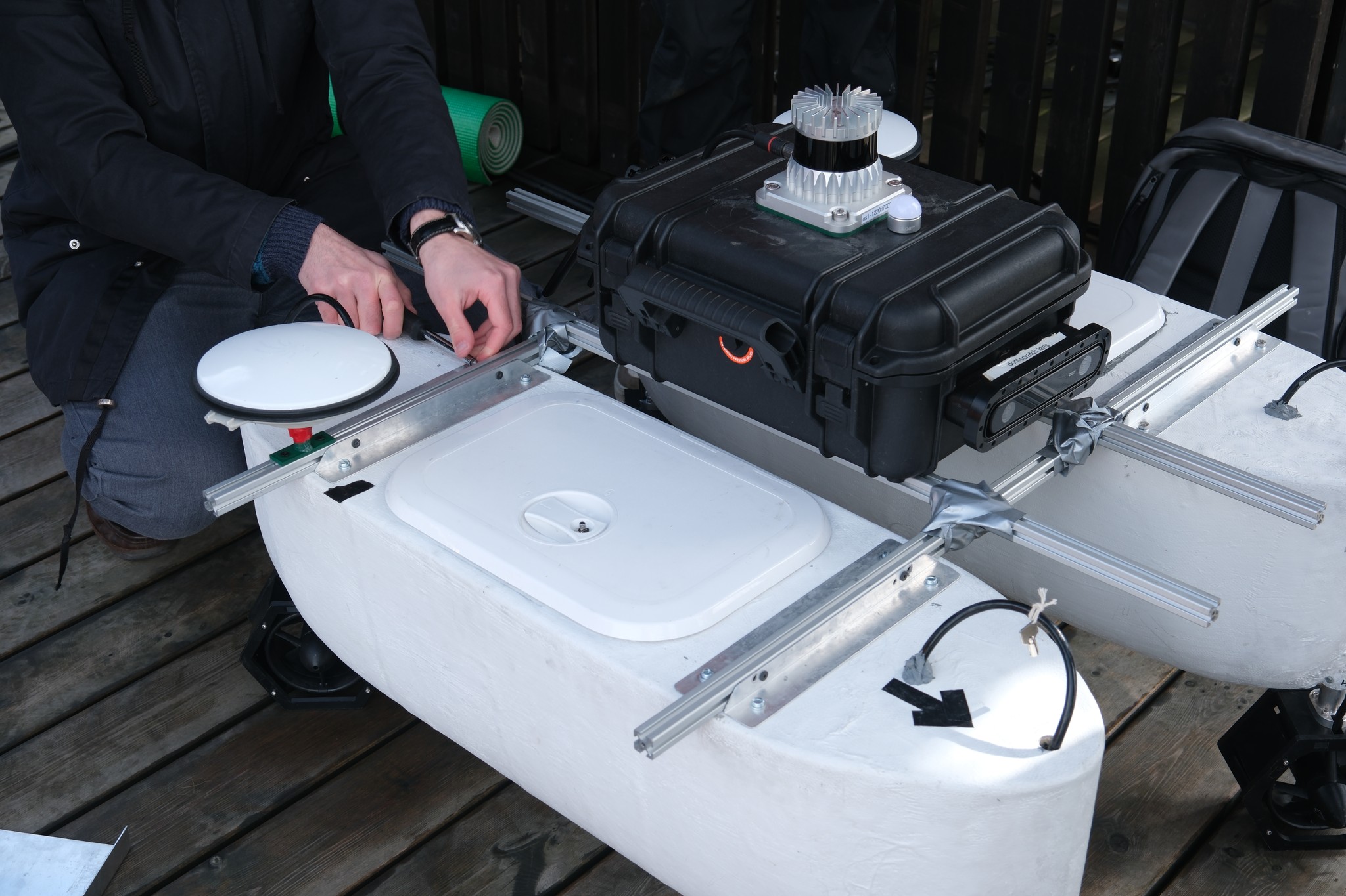
Argus is a catamaran. The two hulls give a wide and stable platform for the sensors and electronics.
- 02
Four propellers
With four propellers Argus can turn a full 360 degrees while it keeps moving forward.
- 03
Kongsberg Seapath 130
A GNSS-aided inertial navigation system. It combines multi-frequency GNSS receivers with gyroscopes and accelerometers, and gives Argus its position, heading, speed, roll and pitch.
- 04
Stereo depth camera
Two lenses measure the distance to things in front of the boat. The images are also used to recognise what the objects are.
- 05
LiDAR
Measures the distance to docks, buoys, boats and other obstacles around the boat.
- 06
Pixhawk flight controller
Controls the motors. It calculates the PWM signal that sets the speed of each propeller.
- 07
5G link
Sends all data from the boat to land, so we can follow its internal state while it sails.
- 08
Waterproof electronics case
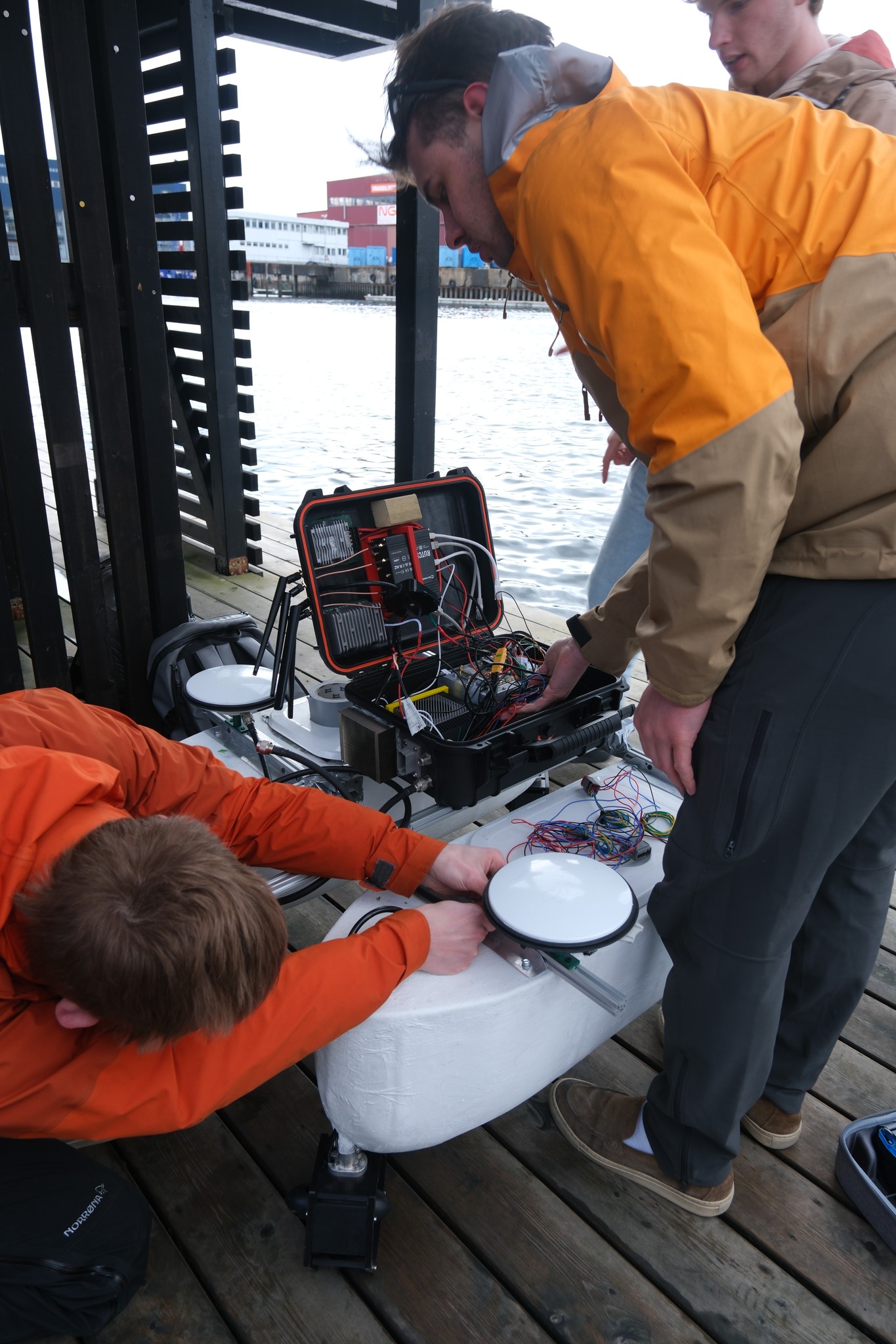
The computer, power and wiring are kept dry inside one sealed case.
How Argus finds its way
From what the sensors see to the signal that turns the propellers, in the order it happens on board.
- 01See
Stereo camera and LiDAR
The depth camera measures distance and recognises objects like buoys and boats. The LiDAR measures the distance to everything around the boat.
- 02Locate
Kongsberg Seapath 130
GNSS receivers give the position and heading. Gyroscopes and accelerometers fill in between the satellite fixes and keep the estimate going if the signal drops out. Correction data over 5G makes the position more accurate.
Seapath 130 at Kongsberg - 03Map
Cost map
What the sensors find goes into a map of the water around the boat. Obstacles, and the water close to them, cost more to sail through.
- 04Decide
State machine
Keeps track of what Argus is doing right now, for example following the course, going around another boat or docking, and switches when something changes.
- 05Plan
Field D*
The path planning algorithm finds the cheapest route across the cost map, and plans again when the map changes.
- 06Drive
Pixhawk
The flight controller turns the plan into PWM signals for the four motors.
All data from Argus is sent to land over 5G, so we can follow its internal state and get important information while it sails.
Take the helm.
In real life no one steers Argus. Here you can. Drive it around our 3D harbour and stop at the posts to read more.
How we built it
The build, from the first hull in the workshop to the first test in the harbour.
Shaping the hulls
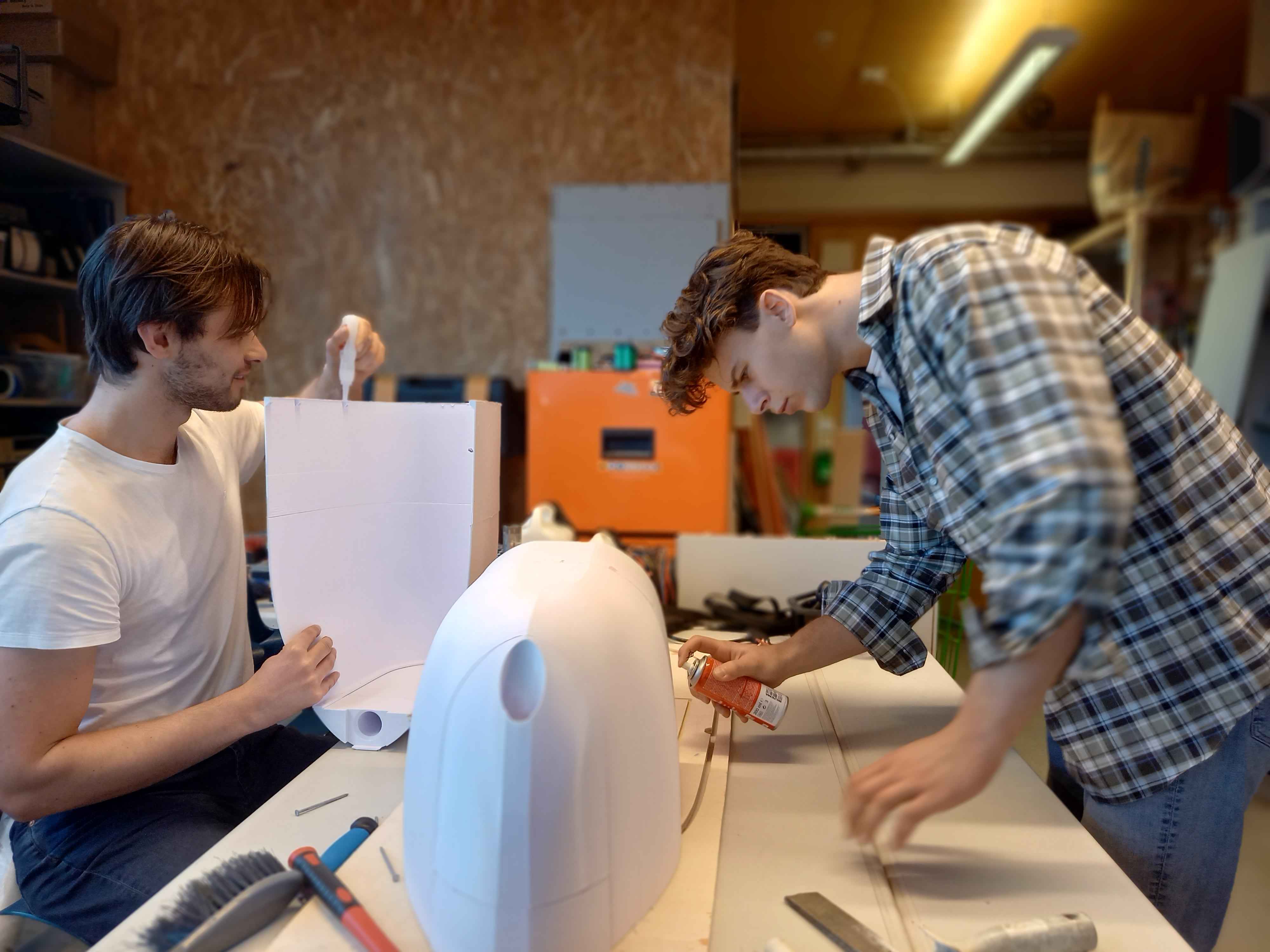
Work starts in the workshop. The first hull slowly takes shape.
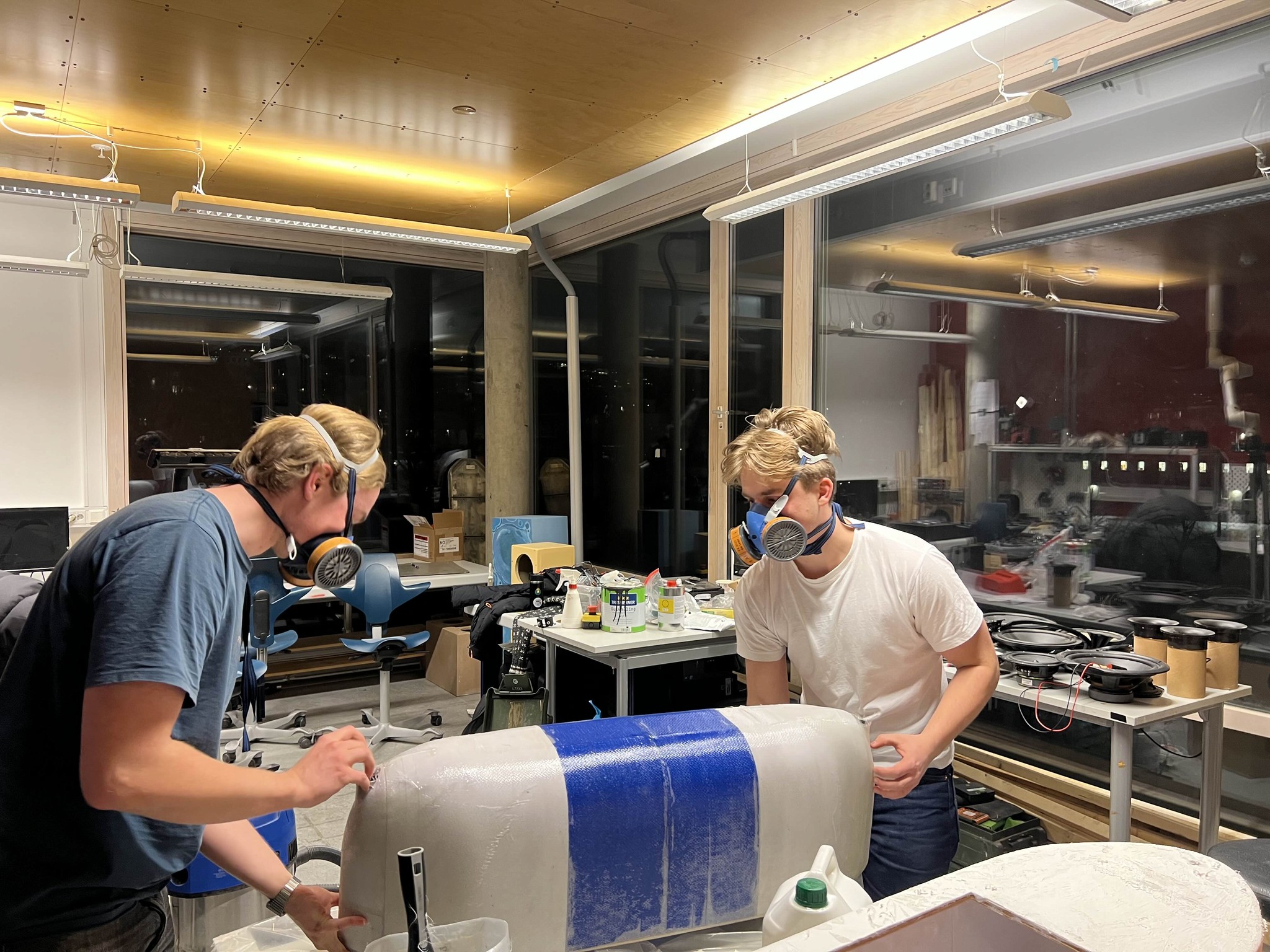
Sanding and finishing
Long days of sanding, filling and painting to make the hulls smooth and watertight.
First time on the water
The first float test in the harbour. Does it float? It does.

Putting it all together
Hulls, frame and electronics are joined together on the dock for the first time.
Launch day
Argus goes into the water with all sensors on board – ready for testing.
Photos from the dock
Our goals
A fully autonomous boat
Build and test our first maritime platform that can navigate and do tasks on its own.
Stronger partnerships
Work closer with the Department of Engineering Cybernetics and our industry partners.
A base for the future
Lay the foundation for new projects in maritime autonomy, research and innovation.
Open the Argus interface
Our GUI team built a web interface for following Argus while it sails. You can open it here.